Intrepid Hazelwood geographers take Limerick by storm!
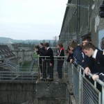
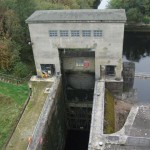
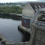
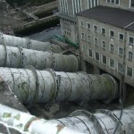
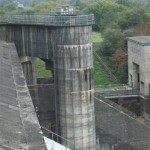
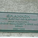
Limerick City fell under the scrutinising eyes of third-year geography students from Hazelwood College. The adventure began by going to the Ardnacrusha Hydroelectric Power Station, where we learned about the history of the plant, how they use the power of falling water to generate electricity, and how they have added a fish-ladder to make sure that the fish population is conserved.
Next, we drove around Moyross, to see the Limerick Regeneration Programme in action. Old houses have been demolished and new, modern units have been built instead. This is an ongoing programme and it is hoped that all the old houses will be replaced in time. However, at the moment, the programme has come to a standstill due to the economic climate.
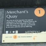
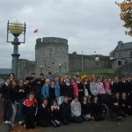
We then went into Limerick City and parked opposite the old potato market. This is where potatoes were bought and sold in times gone by, but it is now a car-park. We walked around the Medieval Quarter where we saw St. Mary’s Cathedral, the oldest church building in Limerick. We also noted some of the original walls of Limerick near the King John’s Castle area. We observed the strategic placement of the castle beside the Shannon River and Thomond Bridge that linked Irish-town to English-town. This was the first bridge to be built across the Shannon in Limerick. We visited the museum where we saw evidence of Limerick’s industrial past. There were examples of lace-making and silverware, industries that had a large part in Limerick’s past. The museum also housed a collection of photographs, going over the last hundred years of Limerick City and County.
After lunch by the river, we walked beside the Shannon and noted the new waterway to accommodate boats coming down from Lough Derg, through the Shannon Estuary to the Atlantic. This waterway was built so that the boats could avoid the rapids in the River Shannon. We also noted the Treaty Stone, around which the story of the Siege of Limerick and the Treaty is told in plaques on the ground.
We then walked around the Central Business District, where there were many offices, shops and hotels. Limerick City is built on a grid system with all the main streets running from east to west and all the minor, intersecting streets running from north to south. Most of the businesses in the Central Business District are money-based, such as banking, accounting, law, and service industries.
On our way out of Limerick, we observed the Raheen Industrial Estate and noted that it was approximately five miles from the city centre. There, most of the industries are light industries, such as Analog Devices. There is a good road network connecting all the industries together and they have direct access to the M20 motorway.
We returned to school after a very enjoyable, interesting and informative day.
Many thanks to Catherine McCall, Ms. O’ Connor and Ms. Daly for being our guides on the day.
Michael Keyes (3rd year)
Click on any image twice to see full size
